
Six lighthouses dot the North Carolina coast from Currituck to Bald Head Island, each with it's unique character. From the natural red brick Currituck lighthouse to the grandfatherly "Old Baldy", these lighthouses are today often more ornamental than mandatory. Yet in their day, they were vital aids to navigation along the treacherous coastline.
For nearly two centuries after North Carolina's settlement, the coast went unprotected. Hundreds of ships met their fate in the stormy shallow waters, and one of the first legislative acts passed by the America's fledgling government was lighting the coast.
In 1793, Congress passed an act to construct the first North Carolina lighthouse at Cape Hatteras. The first structure completed was the Bald Head lighthouse at the mouth of the busy Cape Fear River, completed in 1795. The first Cape Hatteras lighthouse was completed in 1802. The Ocracoke Lighthouse came next in 1823. Still operating today, it holds the distinction along with Old Baldy as one of the oldest continually operating lighthouses in the United States.
After the Civil War, the government realized that more and better lighthouses were needed along the Carolina coast. The Hatteras Light, which was of vital importance to mariners, was too short, too faint, and too unstable. In addition, Congress established the Lighthouse Board to supervise construction of five new lighthouses along the coast at 40-mile intervals.
The Cape Lookout Lighthouse near Morehead City was the first of these post-war structures to be completed. At 150 feet, it served as the model for future lighthouses at Hatteras, Currituck, and Bodie Island.
In 1870, the original Cape Hatteras lighthouse as replaced by the current structure. At 208 feet, the majestic candy-striped lighthouse is the tallest in the nation, as well as the most recognizable. The 1802 structure has long since been claimed by the sea, a fate that might have befallen the current structure had the Department of the Interior not moved it in the summer of 1999.
The 150-foot Bodie Island Lighthouse was constructed in 1872. Originally located on the north shore of Oregon Inlet, the lighthouse is now two miles north of the inlet, which has shifted south over the years.
At Corolla, the Currituck Beach lighthouse was the last of the five to be built. Constructed in 1893, the 150-foot structure was intentionally left in its natural unpainted state. The Lighthouse Board ordered each of the new lighthouses painted in a distinctive manner to make them recognizable during daylight hours.
Perhaps most interesting is how these monolithic structures were built in the soft barrier island sand. The foundations were constructed of two courses of six-by-twelve timbers laid in an octagonal fashion in a deep pit. Once the timbers were in place, the hole was allowed to fill with seawater, a technique which has preserved the beams for over a century. Then, an octagonal granite cap was laid on top of the foundation, and the circular tower constructed brick by brick.
The lights were originally lit with oil lanterns, which required the keeper to make several treks a day to the summit with oil refills. The light was magnified with a high-power Fresnel Lens mounted atop a rotating base and flashed at recognizable intervals, which could be seen up to 50 miles away, even in stormy weather. The light keeper and his family were housed on the site, and their days at these remote, barren outposts were filled with routine chores such as cleaning the glass and lens, repairing storm damage, and making weather reports.
Today, the lightkeepers are gone, and the lighthouses are automated to illuminate at dusk and turn off at dawn. Millions of tourists visit the Outer Banks Lighthouses each year, and although -at the time of this article- only the Hatteras and Currituck lighthouses are open on limited schedules for climbing , the sturdy of foot and heart will be rewarded by a stunning view from the top.
The first recorded shipwreck along the North Carolina coast took place in 1585, when one of John White's flagships, the Tyger, wrecked at Ocracoke Inlet. In the 400 years since, historians estimate that over 1,000 ships have been lost along the coast, earning the treacherous waters the nickname "The Graveyard of the Atlantic." Mariners still dread the trinity of capes that characterize North Carolina's coast: Cape Hatteras, Cape Lookout, and the aptly named Cape Fear. Like the points on a net, the capes arc far into the Atlantic, with submerged shoals extending even further. Geography combines with weather and circumstance to create a dangerous situation for mariners.
The Gulf Stream, long used as an ocean highway from the Caribbean to Europe, comes perilously close to the Carolina coast. At Cape Hatteras, it brushes the cold Labrador Current, which runs parallel to the shore from northern climates. The resulting clash of waters creates the deadly Diamond Shoals, which extend 20 miles to sea and is only a few feet deep in places. Add the astonishing frequency of hurricanes and winter nor'easters that occur here, and the recipe for disaster is complete.
Many famous wrecks and near-misses have occurred along the Carolina islands, some of them resulting in political and social change. In 1790, Secretary of the Treasury Alexander Hamilton, himself the victim of a close encounter off Cape Hatteras as a child, ordered the construction of the first lighthouse there.
In 1837, the steamship Home was battered to pieces in a hurricane at Ocracoke Island. The lack of life preservers on board led to the loss of 100 people--many of them recognized figures of the day. As a result, Congress passed the Steamboat Act, which required coastal vessels to carry life preservers for every passenger.
In 1877, two tragic wrecks prompted government response. In November, the Navy warship Huron wrecked at Nags Head, with the loss of 100 lives. The nearby Lifesaving Station had been closed for the winter, and residents watched helplessly from as bodies washed ashore. A few months later, the passenger ship Metropolis wrecked near Corolla, with an even greater loss of life. Congress was galvanized by the disasters, and within a year, year-round lifesaving stations were established at seven mile intervals along the coast. Years later, the Lifesaving Service became today's Coast Guard.
War also claimed its share of ships along the coast. At the end of Civil War, Wilmington was the only open Confederate port. Guarded by Fort Fisher at the mouth of the Cape Fear River, the city was the port of call for blockade runners--many of which were wrecked or destroyed by Union gunboats along the Cape Fear beaches. Perhaps the most famous Civil War shipwreck of all, the sinking of the Monitor, took place off Cape Hatteras in 1862. World War II also came to the Carolina coast with a vengeance. Few people realize that German U-boats prowled the shipping lanes off the coast, sinking nearly 100 ships in a two-year period and earning the area another nickname Torpedo Junction.
The 20th Century has seen a decline in the number of ships lost along the coast due to the advent of electronic navigation and superior shipbuilding technology. However, occasionally a fishing boat or pleasure vessel is caught in the clutches of the Graveyard, and the Coast Guard springs into action. And the curious can still see the remains of ships scattered among the sands, especially after a storm, which uncovers bones long forgotten in The Graveyard of the Atlantic.
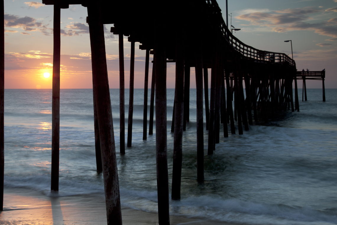
If you're a diver, many coastal dive shops run charters to offshore wrecks. Here are some visible Shipwrecks from the beach on the North Carolina coast:
? The Laura A. Barnes off Highway 12 at Coquina Beach in the Cape Hatteras National Seashore. ? The Huron at the Nags Head Fishing Pier in Nags Head of Highway 12. Most visible at low tide. ? The Stovepipe Hat Wreck (offshore at Pea Island National Wildlife Headquarters, Hatteras Island off Highway 12. ? The Iron Steamer offshore at the old Iron Steamer Pier location on Bogue Banks near Emerald Isle on Highway 58 .


